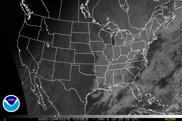
Satellite Imagery
 |
Current color enhanced infrared image |
 |
NOAA Geostationary Satellite Server |
Click on any image for the current satellite image, courtesy of NOAA
 |
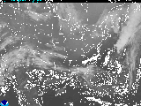 |
East Coast Infrared Image | East Coast Infrared Loop |
 |
 |
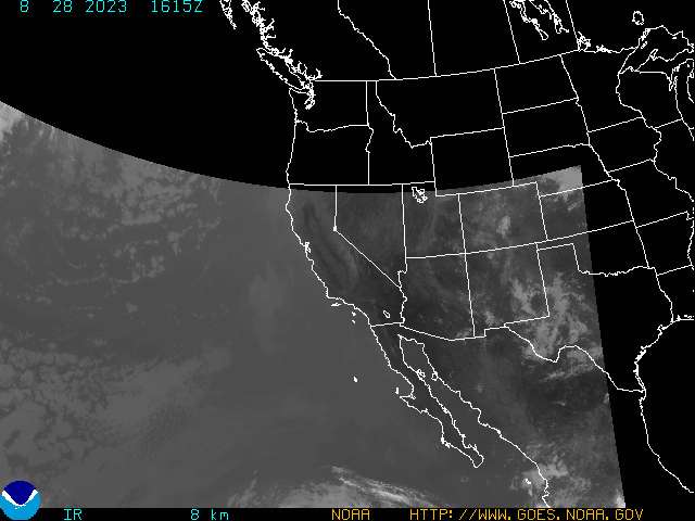
West Coast Infrared Image | West Coast Infrared Loop |
 |
 |
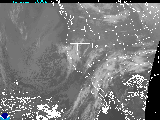
U.S. Visible Image | U.S. Visible Loop |
|
 |
U.S. Water Vapor Image | U.S. Water Vapor Loop |